


New Financial Year, New Tech: Introducing Our Drone Imagery Services
- Erica Mawer
- Aug 6, 2025
- 1 min read

We’re kicking off the new financial year with a powerful new tool in our kit: drone technology!

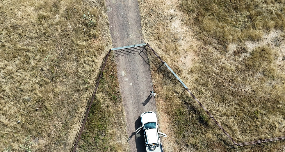
As part of our continued commitment to innovation and adding value for our clients, we now offer drone imagery services as a standard part of our fieldwork and reporting. This allows us to capture current aerial imagery and incorporate bird’s-eye mapping directly into our assessments including areas that were previously difficult or impossible to access.
From vegetation mapping to monitoring sensitive ecosystems, drone data provides an unprecedented level of detail, accuracy, and efficiency. It's not just a cool new toy, it’s a serious upgrade to how we deliver high-quality environmental insights.
Why it matters:
Improved spatial accuracy for vegetation and habitat mapping
Access to remote or hazardous sites without the need for physical entry
Time and cost efficiencies in monitoring and reporting
High-resolution visuals to support clear communication with stakeholders

We’re excited to see the difference it makes, and more importantly, the benefits it brings to our clients and project partners.
To learn how we can support your next project, contact us or connect with Mary on LinkedIn.
#Ecologist #WomenInSTEM #RaptorEnvironmental #DroneMapping #EnvironmentalScience #EcologyInnovation #AerialImagery


Comments